TIMBERMAN là vật liệu gỗ nhựa WPC (Wood Plasticomposite) còn gọi là gỗ nhựa composite. TimberMan là một loại nguyên liệu tổng hợp từ 60% gỗ và 37% Nhựa kèm một số hóa chất có nguồn gốc tự nhiên từ Cellulose hoặc vô cơ. Do đó Timberman được gọi là vật liệu composte nhựa sợi tự nhiên hay gỗ được gia cường bằng nhựa an toàn, thân thiện môi trường, giống hệt gỗ tự nhiên và đang là vật liệu thay thế hoàn hảo cho gỗ tự nhiên, bền hơn 3 lần so với gỗ tự Nhiên.
SẢN PHẨM SÀN GỖ NGOÀI TRỜI
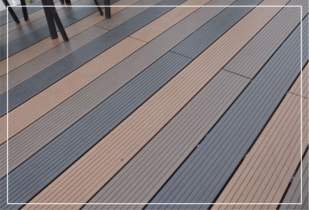
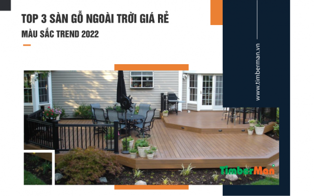
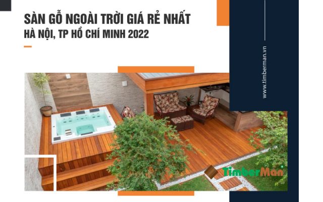
SÀN GỖ NGOÀI TRỜI
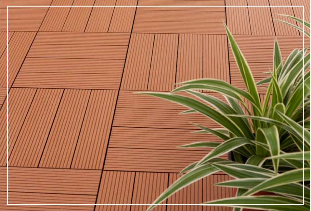
GẠCH GỖ NGOÀI TRỜI
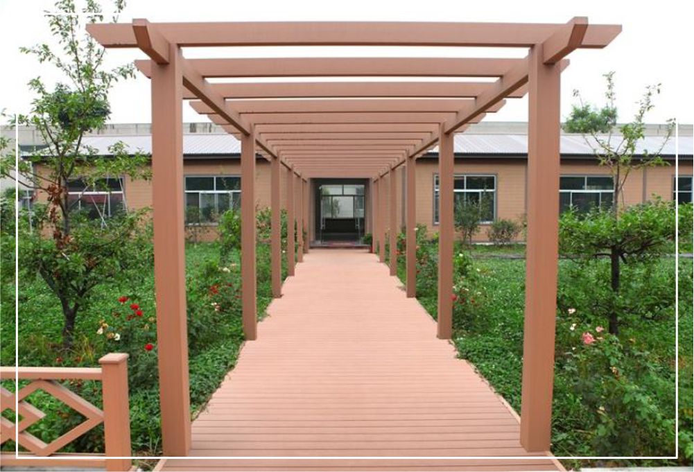
GIÀN HOA NGOÀI TRỜI
HÀNG RÀO NGOÀI TRỜI
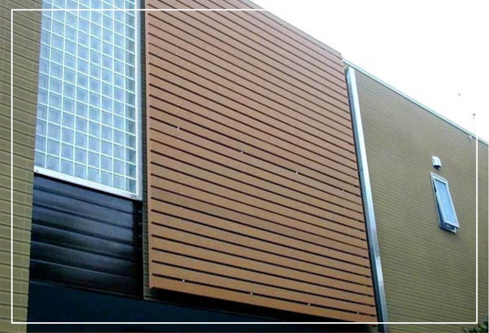
ỐP TƯỜNG – ỐP TRẦN
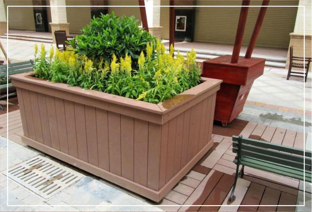
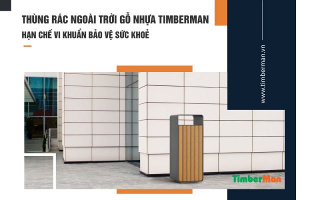
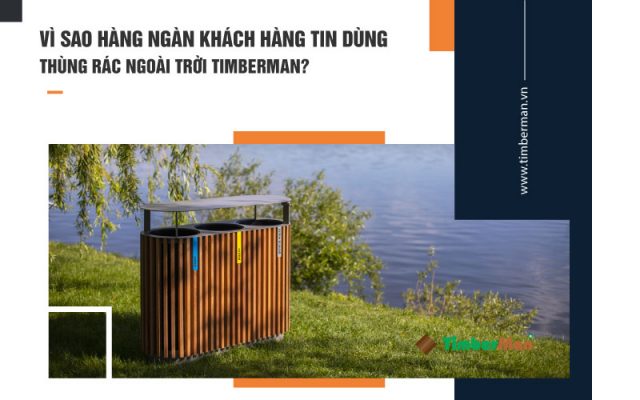
CHẬU HOA – THÙNG RÁC
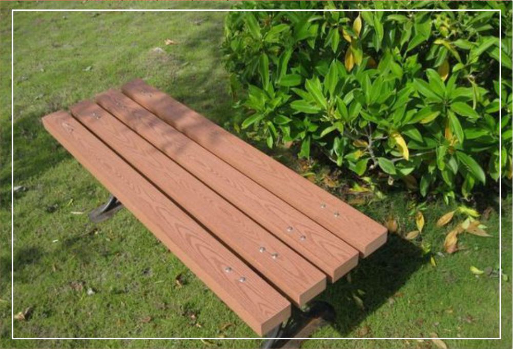
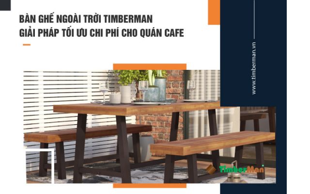
BÀN GHẾ NGOÀI TRỜI
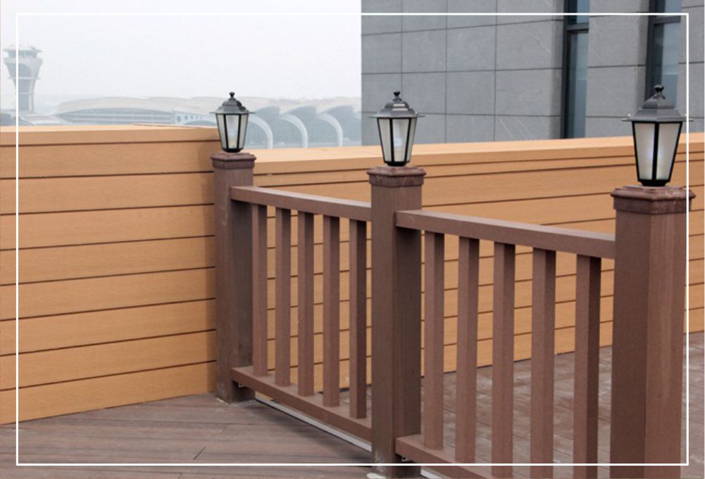
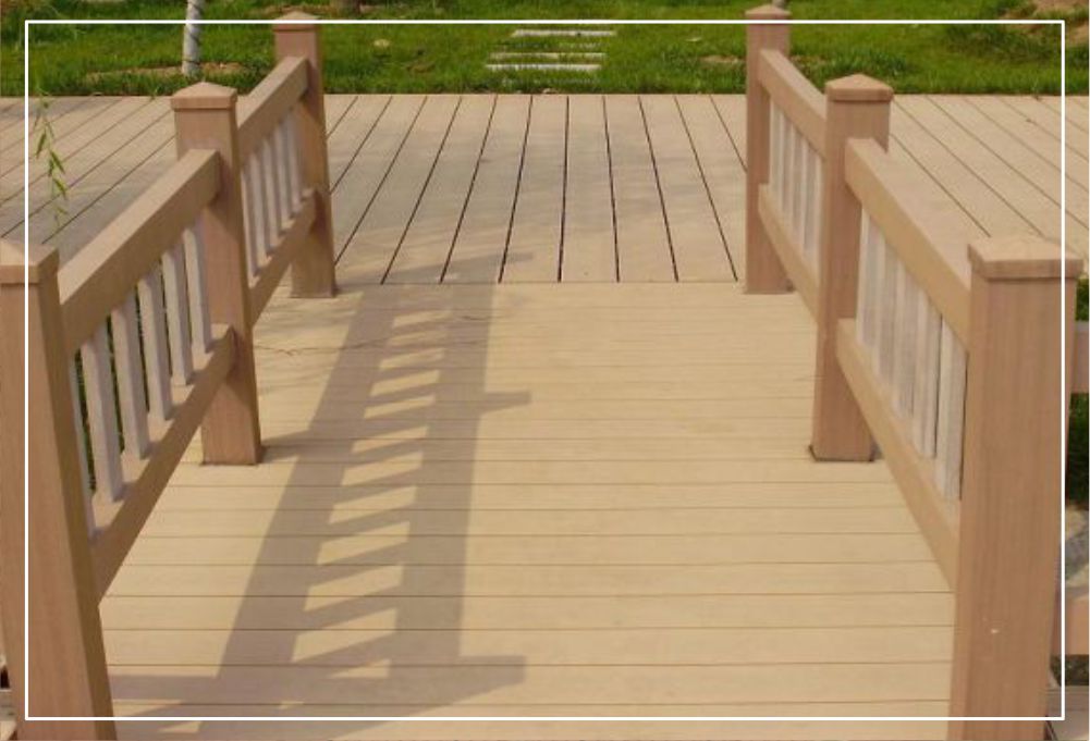
LAN CAN – BAN CÔNG
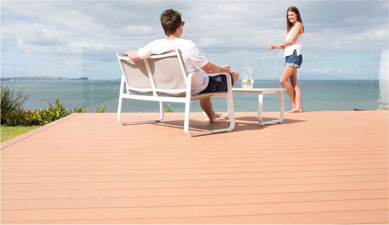
ỨNG DỤNG SÀN GỖ NGOÀI TRỜI TIMBERMAN
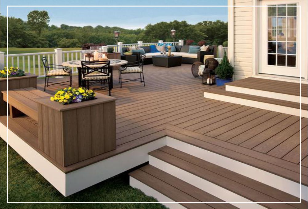
SÂN VƯỜN
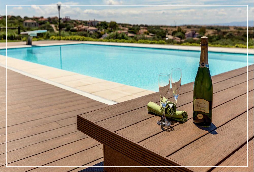
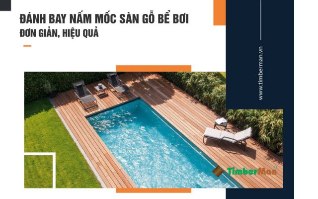
BỂ BƠI – DU THUYỀN
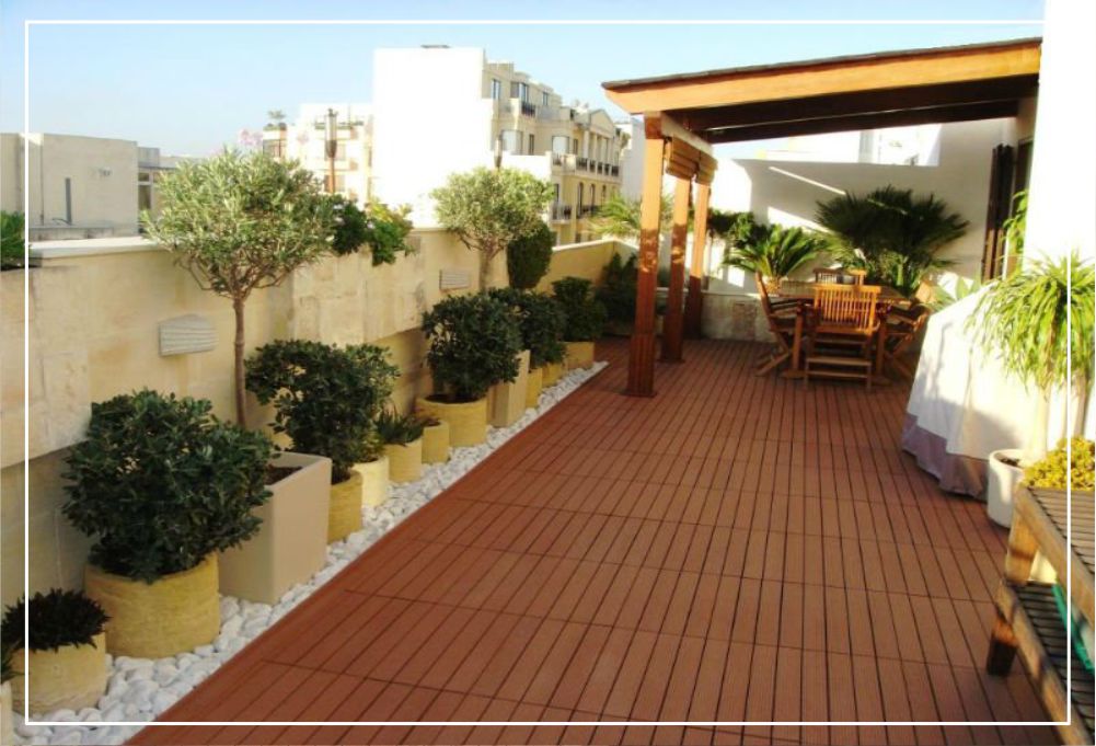
SÂN THƯỢNG
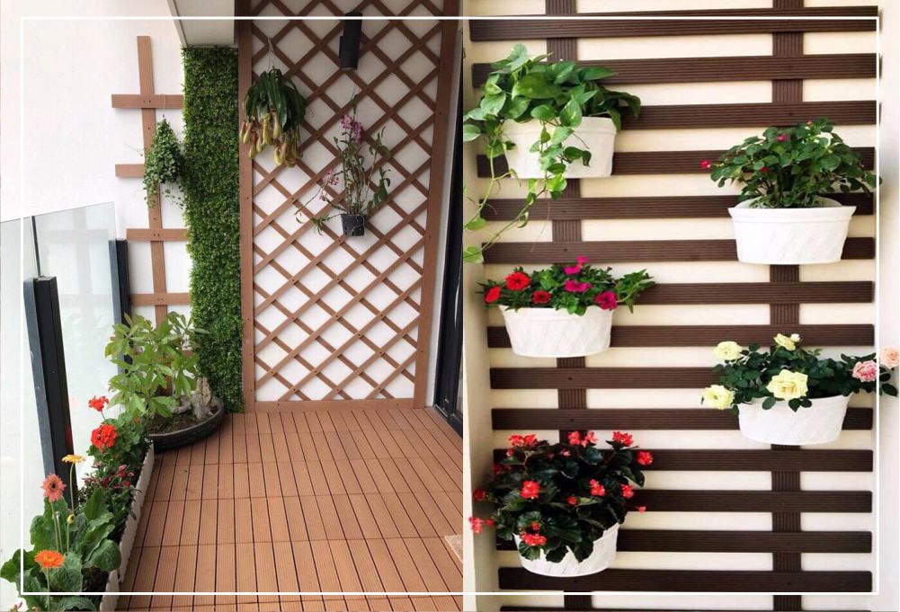
BAN CÔNG
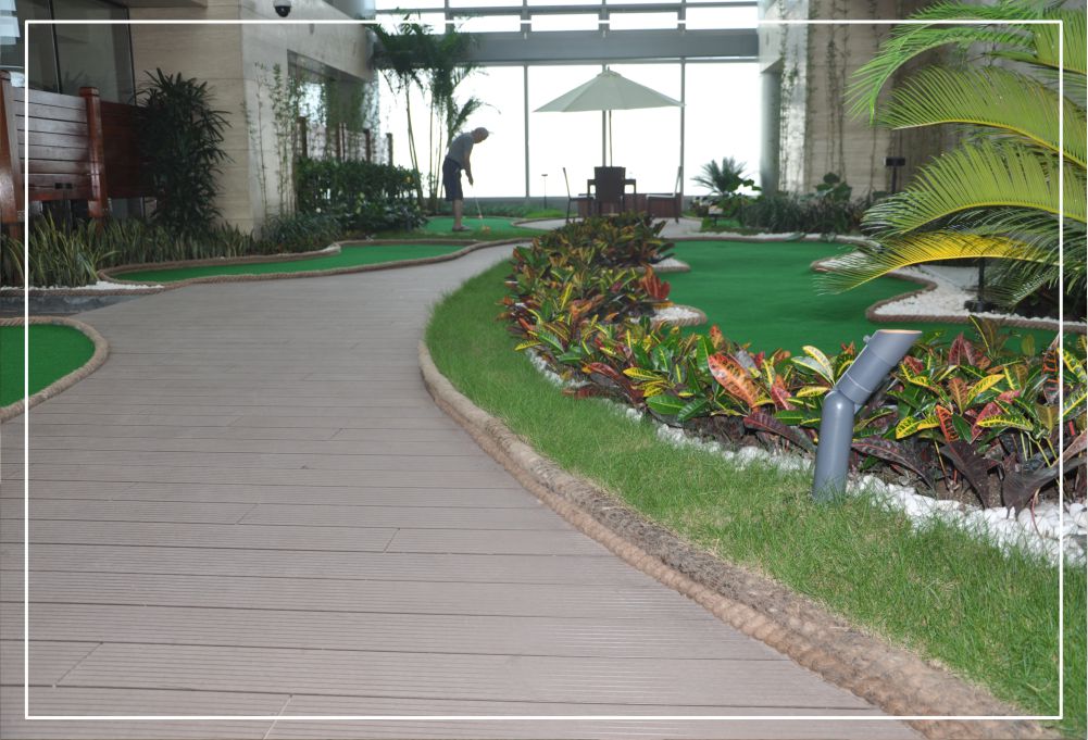
CÔNG VIÊN – KHU NGHỈ DƯỠNG
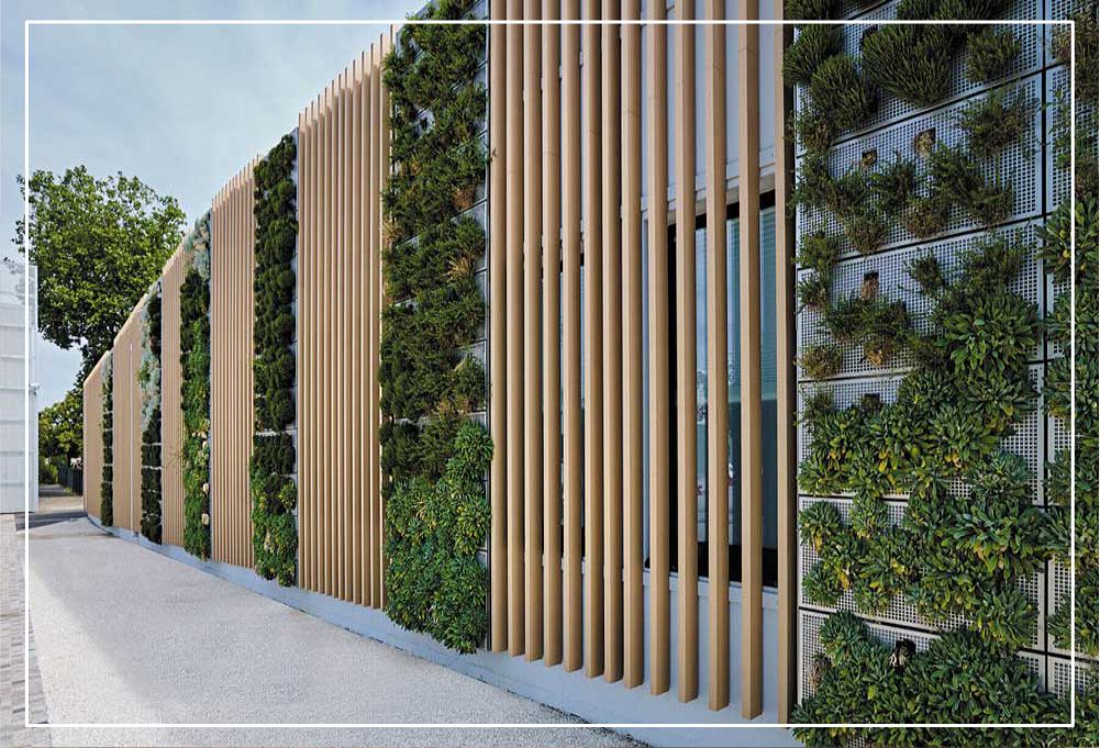
MẶT TIỀN
- Sử dụng công nghệ Nhật Bản với phương thức ép đùn giữa 60%gỗ và 37% nhựa & 3% hóa chất nguồn gốc tự nhiên nên sàn gỗ nhựa ngoài trời TimberMan WPC an toàn với người tiêu dùng.
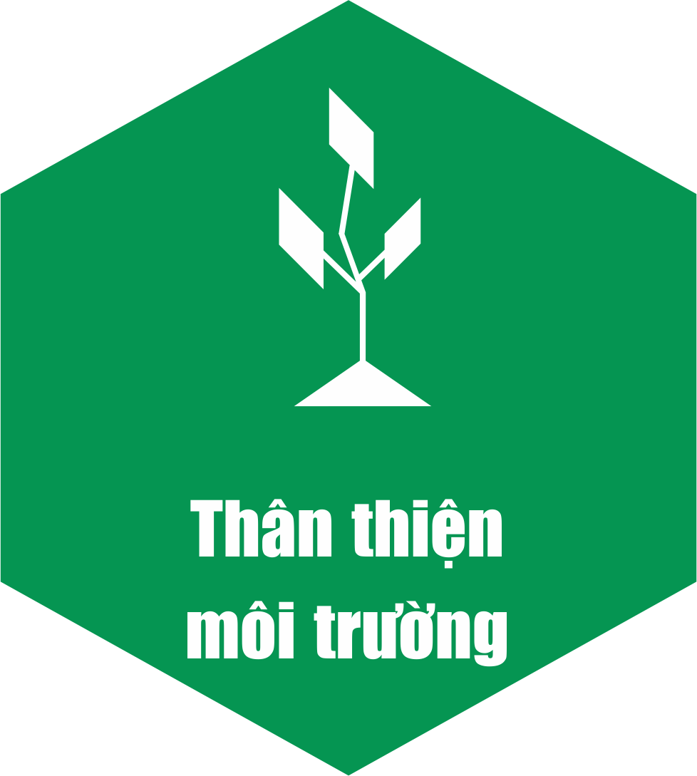
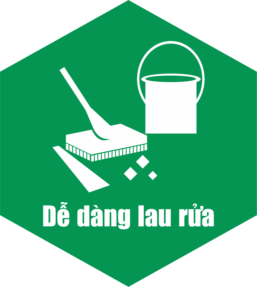
Là vật liệu thân thiện với môi trường, dễ dàng vệ sinh bằng xà phòng và nước. - TimberMan WPC có kiểu dáng, vân gỗ đa dạng lại chịu được nắng mưa, hình dạng ổn định khi đặt ngoài trời. Bề mặt và vân gỗ là những ưu điểm tuyệt vời của gỗ tự nhiên lại chống trơn trượt nên sử dụng gỗ nhựa composite TimberMan WPC giúp chúng ta gần gũi với thiên nhiên.
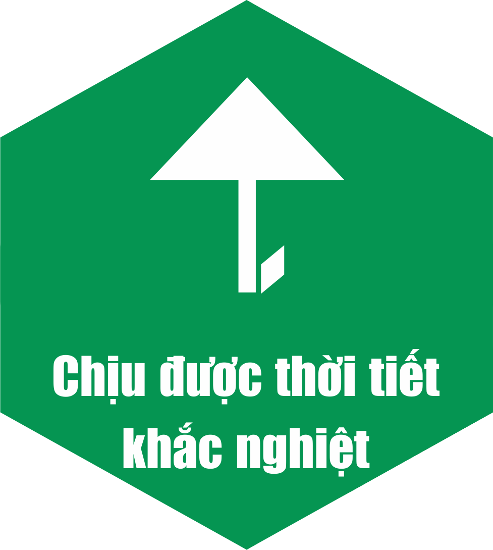
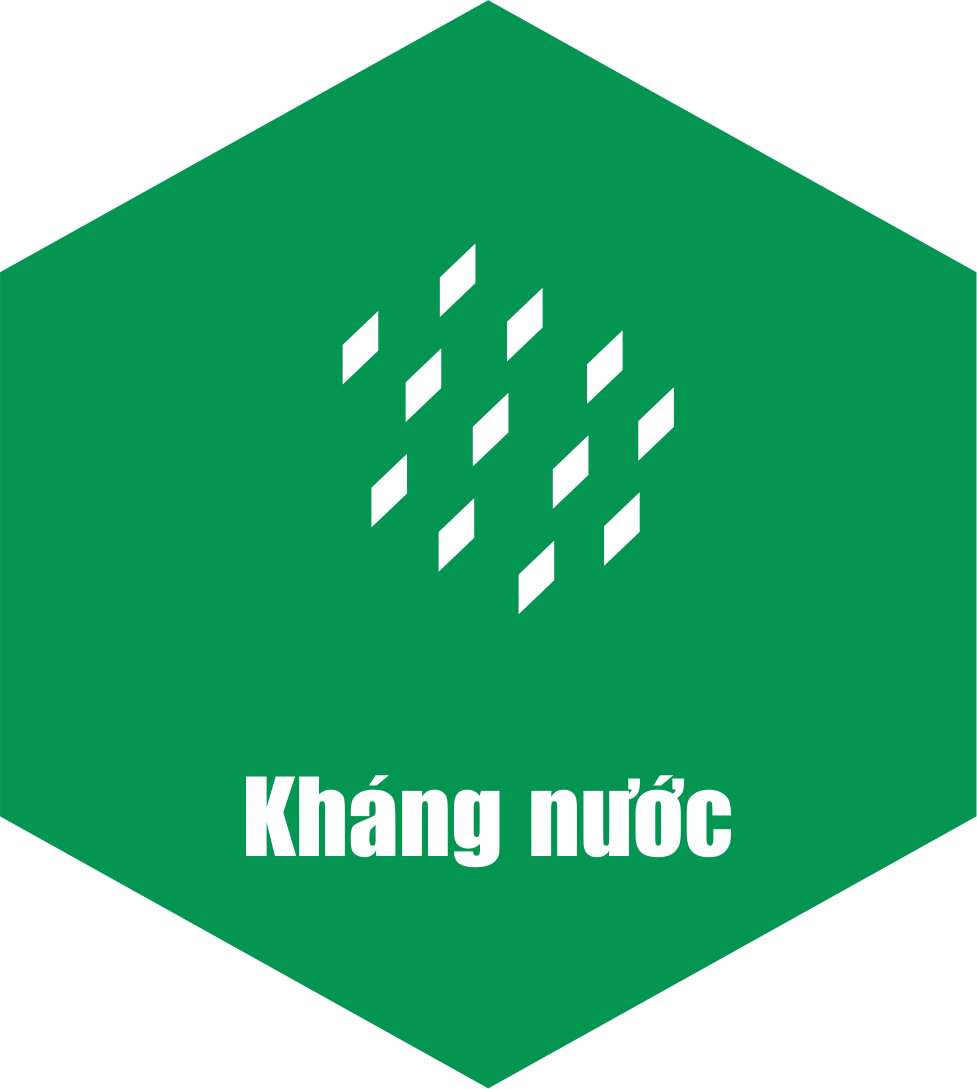
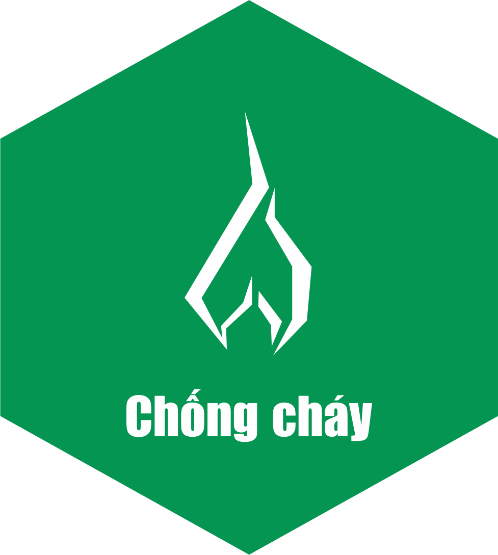
- Khả năng chịu nước, khả năng chịu được nhiệt độ cao đã giúp cho sàn gỗ nhựa TimberMan WPC chịu được môi trường khí hậu biển đổi của Việt Nam

TimberMan
Timberman – Wood Plastic Composite là gỗ nhựa hàng đầu tại Việt Nam. Timberman có ứng dụng đa dạng như sàn gỗ ngoài trời, hàng rào ngoài trời, giàn hoa ngoài trời, ban công ngoài trời…. .
Our blog